 Most remote
Language
EnglishCurrency
US dollar · $Your currency applies on GetYourGuide too.
Guide · The O
The O Trek in Torres del Paine, all the way round
The O loops right around the Paine massif, adding the wild north side and the pass to everything the W offers. Here is the route section by section, how long it takes, the rules you must follow and when the circuit is open at all.
Check availabilityfrom $100 · free cancellation possible
Editorial team, torresdelpainehikingtours.comUpdated October 16, 2026Reading time about 6 minutes19 sources
Before you plan
- 01Length
- The park lists the O at 8 to 10 days.1
- 02Status
- CONAF closed it from May, initially until 31 October 2026.2
- 03Booking
- Refugio or campsite reservations are mandatory.3
- 04Hardest day
- Los Perros to Paso: 8 km, 6 hours, demanding.4
- 05Check-out
- At Paso and Perros you must also register when you leave.5
What the O adds to the W
The O is the full circuit of the Macizo Paine. Where the W stays on the southern side of the massif, the O continues round the back, through the valleys of the north and over a high pass beside the Grey Glacier, before joining the W for its final days. The park lists it at 8 to 10 days, passing Serón, Coirón, Perros, Paso, Grey, Paine Grande, the French Valley and Base Torres.1
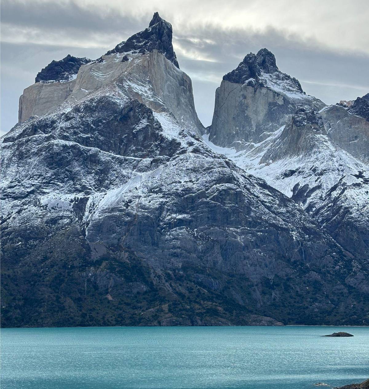
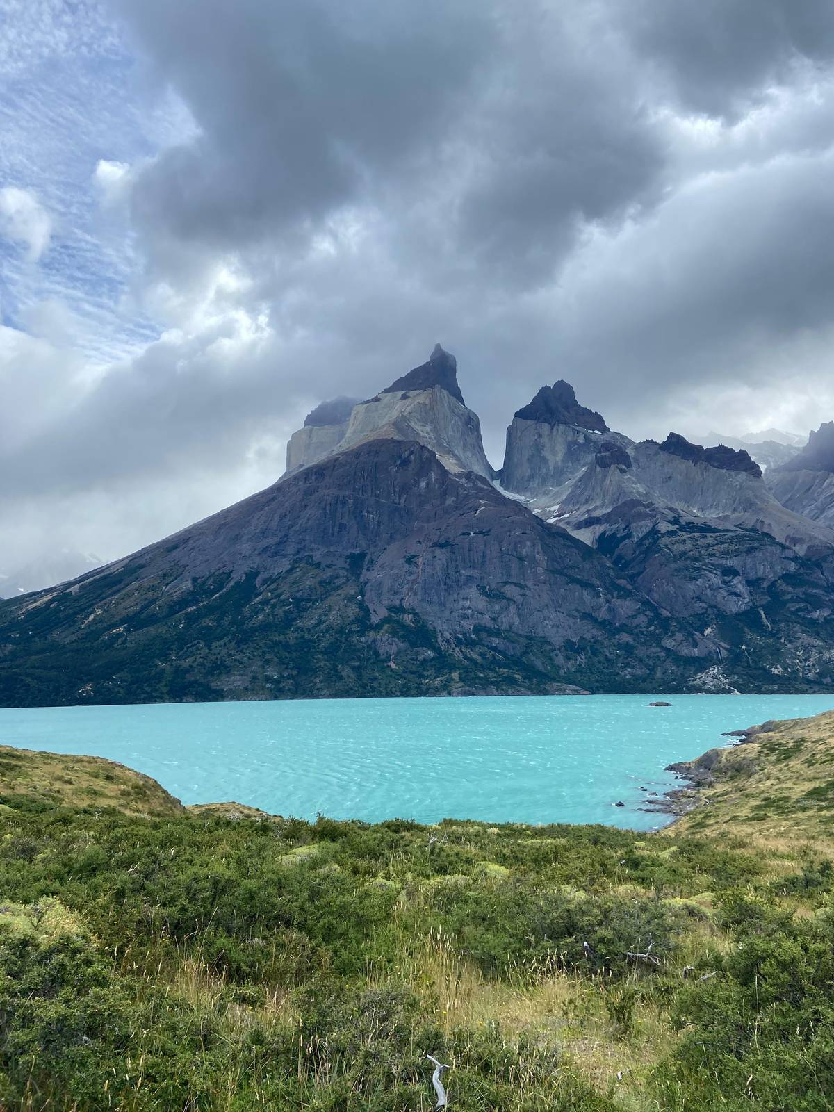
That northern half is what makes the O different. It is quieter, more remote and more exposed than the W, with long stretches of forest and open valley where you may walk for hours without meeting anyone. The views change from the famous towers and horns to broad river plains, a glacial lake below the Dickson glacier and, from the pass, an immense river of ice spreading west.
It also asks more of you. Days are longer, the terrain is rougher in places and the weather on the pass can turn quickly. A backpacking trip in Torres del Paine on the O is a serious undertaking that rewards fitness, good gear and patience with the wind, and it is best planned well ahead of the season.
Anticlockwise
The northern half of the O
-
Las Torres to Serón
Into the valley
13 km, about 4 hours.6
-
Serón to Dickson
A long day
18 km, about 6 hours.7
-
Dickson to Los Perros
Toward the pass
11.8 km, four and a half hours.8
-
Los Perros to Paso
Over the pass
8 km, 6 hours, rated demanding.4
-
Paso to Grey
Bridges and glacier
7 km, 5 hours, rated demanding.9
-
Grey to Paine Grande
Joining the W
11 km, about 3 hours 30 minutes.10
Is the O open right now
Check this first. CONAF announced that from May the Macizo Paine circuit, also known as the O, would stay closed, initially until 31 October 2026.2 Any change to that date is announced through CONAF's official channels, so look at the park page before you buy anything else.
The closure is linked to the season. CONAF lists the O-only sections as closed in winter; the Los Perros to Paso stretch, for example, is 8 km and 6 hours, rated demanding, and closed for winter hiking.11 The park warns that winter trails can be covered in ice and 20, 30 cm or more of snow.12
In practice the O is a summer route. If your dates fall outside the open season, the W or a selection of day hikes still gives you the park's highlights, and parts of the W can be hiked in winter with a guide.13 Save the full circuit for a trip when the pass is open. Shoulder months can be tempting, with fewer people on the trails, but they also bring the highest risk that a late storm closes the pass or that the opening date moves. If you have one chance at the O, aim for the heart of the season and keep a day or two in reserve, so a single bad-weather day on the pass does not unravel the whole chain of bookings.
Plan the days
O-only sections, distance and time
Compare
O, W or a day hike
Most remote Most popular
 Lightest
O or not
Is the O right for you
Be honest about time, fitness and the season.
The O
The park lists it at 8 to 10 days.1
The W with a guide or day hikes
O-only sections are closed in winter.11
The W
The park lists the W at 3 to 5 days.14
Think twice
Two suspension bridges between Grey and Paso stand over 20 metres high.15
A viewpoint day
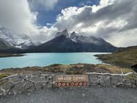
This site's tour walks to Mirador Cuernos and Mirador Cóndor in a day.
In the interior trails of the park there is no telephone or internet signal, so be aware that if you do the W or Macizo Paine (O) circuits you will remain disconnected for several days.
The route section by section
Most hikers walk the O anticlockwise from the east. From Hotel Las Torres to the Serón camping area is 13 km and about 4 hours.6 From Serón to Dickson is 18 km and about 6 hours, one of the longest days of the circuit.7 From Dickson to Los Perros is 11.8 km and four and a half hours.8
Then comes the crux. From Los Perros to Paso is 8 km and 6 hours, rated demanding, crossing the pass.4 From Paso to Grey is 7 km and 5 hours, also rated demanding.9 Between the Grey and Paso camps there are two suspension bridges more than 20 metres high, which the park mentions for anyone who suffers from vertigo.15
From Grey the O joins the W. Grey to Paine Grande is 11 km and about 3 hours 30 minutes.10 After that you walk the W in reverse: Paine Grande to Campamento Italiano, the French Valley, Los Cuernos and finally Base Torres. That last stretch, after a week on the trail, is where many hikers find their second wind.
Pack and prepare
O Trek checklist
01
Book
- Every refugio or campsite night, in order
- Park ticket online, in advance
- Check that the O is open on CONAF's page
02
Carry
- Warm sleeping bag and layers
- Rain and wind shell
- Trekking poles for the pass
- A stove, used only where camps allow
03
On the trail
- Register at every ranger station
- Check out at Paso and Perros
- Stay on the marked path
A lighter option
Price a day in the park instead
Not up for the full circuit? Price a guided day.
People
Total from$200
per head from $100
Check availabilityfree cancellationFigures use each trek's GetYourGuide starting price per hiker, converted at the day's ECB rate; your booking confirmation carries the true amount.
Video
HIKING THE O TREK IN PATAGONIA (UNGUIDED) // CHILE TRAVEL VLOG
Nothing loads from YouTube until you press play.
The glacier from the pass
The descent from the pass is the moment most O hikers remember. Below you lies the Grey Glacier, a tongue of the Southern Patagonian Ice Field. CONAF describes that ice field as the third largest mass of ice in the world after Antarctica and Greenland, with 13,500 km² of surface.17
Getting there takes effort. The climb to the pass is steep and often windy, and snow can linger near the top well into the season. The descent through forest on the far side is steep too, and it rewards poles and careful footing. Leave Los Perros early to give yourself time for the pass and the long way down.
Weather decides how much of the view you get. On a clear day the ice stretches to the horizon; on a stormy one you see only the edge of the glacier and the bridges over the gorges below. Either way, the crossing is the heart of the O, and it is the part you cannot do on any shorter route.
Bookings and registration
The booking rules on the O are strict. To hike the W or the Macizo Paine circuit you need reservations at the refugios and campsites inside the park, and without them you cannot enter the mountain area.3 On a route of a week or more, that means a chain of bookings that must line up night by night.
The park also asks you to register on arrival at every ranger station, and at the Paso and Perros campsites you must check out as well, for your own safety.5 Those check-outs exist because the northern section is remote: rangers want to know who has crossed the pass and who is still on the way.
Expect to be out of touch. There is no phone or internet signal on the interior trails, so O and W hikers remain disconnected for several days.16 Leave your itinerary with someone at home and carry printed confirmations of every night you have booked. Rangers may ask to see your reservation for the next camp before they let you continue, and showing a screenshot on a phone with a flat battery is not a plan. A small waterproof bag for documents costs little and saves a lot of worry on a wet morning.
Gear and rules for a backpacking trip
Fire is the most serious rule in the park. Using any heat source inside the national park is prohibited by Law 20.653.18 Cook only where camps allow stoves, carry out all your rubbish and never light a fire for warmth, however cold the evening.
Stay on the marked trail even when the path looks obvious. Almost all fatal accidents in the park happen off authorized trails.19 On the O, where help is far away, a twisted ankle off the path is far more serious than on a busy day hike.
Pack for every kind of weather: a tent that stands up to wind if you camp, a warm sleeping bag, layers for rain and snow, gloves and a hat. Trekking poles help on the pass and on the steep descent to Grey. If you are not sure you want to carry all of that for a week, a guided day on the viewpoint trails is a far lighter way to see the massif.
Book your day
The Cuernos, Salto Grande and a condor ridge in a day.
Secure a place today, settle the bill later, and step back at no cost up to a day before the van departs Puerto Natales.


You ask,we answer.
How long is the O Trek?
8 to 10 days, per the park. The park's planning page lists the Macizo Paine circuit at 8 to 10 days.1
Is the O open now?
Check CONAF first. CONAF closed the O from May, initially until 31 October 2026.2
Do I need reservations for the O?
Yes. Refugio or campsite reservations are mandatory to enter the mountain area.3
What is the hardest section?
Los Perros to Paso. It is 8 km and 6 hours, rated demanding.4
Are there high bridges on the O?
Yes, two. Between the Grey and Paso camps there are two suspension bridges over 20 metres high.15
Can I hike the O in winter?
No. CONAF lists the O-only sections as closed in winter.11
Do I need to check out anywhere?
At Paso and Perros. Registration on arrival is mandatory at every ranger station, and check-out at both of these camps.5
Sources
The sources for this guide
- 1Parque Nacional Torres del Paine (CONAF)Recomendaciones para su viaje 2026↩
- 2↩
- 3Parque Nacional Torres del Paine (CONAF)Sistemas de reservas↩
- 4↩
- 5Parque Nacional Torres del Paine (CONAF)Recomendaciones para su viaje 2026↩
- 6↩
- 7↩
- 8↩
- 9↩
- 10↩
- 11↩
- 12Parque Nacional Torres del Paine (CONAF)Recomendaciones para su viaje 2026↩
- 13↩
- 14Parque Nacional Torres del Paine (CONAF)Recomendaciones para su viaje 2026↩
- 15Parque Nacional Torres del Paine (CONAF)Recomendaciones para su viaje 2026↩
- 16Parque Nacional Torres del Paine (CONAF)Recomendaciones para su viaje 2026↩
- 17↩
- 18Parque Nacional Torres del Paine (CONAF)Actividades no autorizadas↩
- 19Parque Nacional Torres del Paine (CONAF)Recomendaciones para su viaje 2026↩
Keep reading