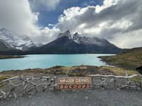
 Best rated
Language
EnglishCurrency
US dollar · $Your currency applies on GetYourGuide too.
Guide · The W
W Trek tours in Torres del Paine, section by section
The W links Grey Glacier, the French Valley and Base Torres on one route. Here is how long it takes, what you must book before you set foot on it, and when a guided trip makes more sense than going alone.
Check availabilityfrom $100 · free cancellation possible
Editorial team, torresdelpainehikingtours.comUpdated October 16, 2026Reading time about 6 minutes29 sources
The short version
- 01Length
- The W is approximately 70 km long.1
- 02Days
- Las Torres Patagonia plans it at 4 to 7 days, or 3 to 6 nights.2
- 03Booking
- Refugio or campsite reservations are mandatory to enter the mountain area.3
- 04Guided option
- A 5-day guided W Trek Express starts from $1,190.
- 05Winter
- Parts of the W are hiked only with a guide in the winter period.4
What the W actually is
The W takes its name from the shape it draws on the map: a chain of valleys walked in and out again, strung along the southern face of the Paine massif. On the park's own list it is the route that visits Grey Glacier, the French Valley and Base Torres, and it is listed with a reservation requirement.5 That combination is why it fills up first every season. You get the glacier, the granite towers and the hanging valley in between, without crossing the remote north side of the massif.
In distance the route is approximately 70 km long.1 Las Torres Patagonia, which runs lodging on the eastern half, says it can be done in 3 to 6 nights, or 4 to 7 days, depending on your itinerary.2 The park's own planning page lists it at 3 to 5 days.5 The spread is not a contradiction: it is the difference between a fast hiker who links sections and someone who wants a spare afternoon at each viewpoint.
Hikers walk it in either direction. Starting in the west means a boat across Lake Pehoé and the glacier first; starting in the east means the Base Torres climb while your legs are fresh. Catamarans run on Lake Grey and Lake Pehoé inside the park, and the Pehoé crossing is how many itineraries reach the western end.6 Whichever way you choose, the beds you booked decide where each day ends.
West to east
The W in its official sections
-
Grey to Paine Grande
Glacier to the lake
11 km, about 3 hours 30 minutes.7
-
Paine Grande to Italiano
Under the massif
7.5 km, about 2.5 hours.8
-
Italiano to Británico
The French Valley
5.4 km, 3 hours, rated demanding.9
-
Italiano to Los Cuernos
Along the lake
5 km, about 2 hours 30 minutes.10
-
Los Cuernos to Las Torres
The long eastern stretch
11.6 km, about 4 hours 30 minutes.11
-
Las Torres to the towers
Base Torres
5 km to Refugio Chileno, then on to the viewpoint.12
The sections and how long they take
CONAF publishes a length and a walking time for every stretch, and they are the most useful planning numbers you will find. From the Grey ranger post to Paine Grande is 11 km and about 3 hours 30 minutes.7 From Paine Grande to Campamento Italiano is 7.5 km and 2.5 hours.8 These are walking times on a normal day; wind and a heavy pack stretch them.
Campamento Italiano is the base for the French Valley. The climb from there to Mirador Británico is 5.4 km, takes 3 hours and is rated demanding.9 Most hikers leave their big pack at the camp and walk it light, which turns a hard section into one of the best mornings of the trip. From Italiano the route continues to Refugio Los Cuernos, 5 km and 2 hours 30 minutes away.10
The long eastern stretch from Refugio Los Cuernos to Hotel Las Torres is 11.6 km and takes 4 hours 30 minutes.11 From the hotel the Base Torres trail climbs first to Refugio Chileno, 5 km and 2 hours.12 Then come 3 km and 90 minutes to the Torres ranger post,13 and the last 1.4 km to the viewpoint itself, an hour of demanding moraine.14
Walking times
W sections, distance and time
| Section | Distance | Time | Rating |
|---|---|---|---|
| Grey to Paine Grande | 11 km | 3 h 30 | medium |
| Paine Grande to Italiano | 7.5 km | 2.5 h | medium |
| Italiano to Mirador Británico | 5.4 km | 3 h | demanding |
| Italiano to Los Cuernos | 5 km | 2 h 30 | medium |
| Los Cuernos to Hotel Las Torres | 11.6 km | 4 h 30 | medium |
Distances, times and difficulty from CONAF's trail list; times are without long stops.7891011
Guided options
Three guided W Trek tours
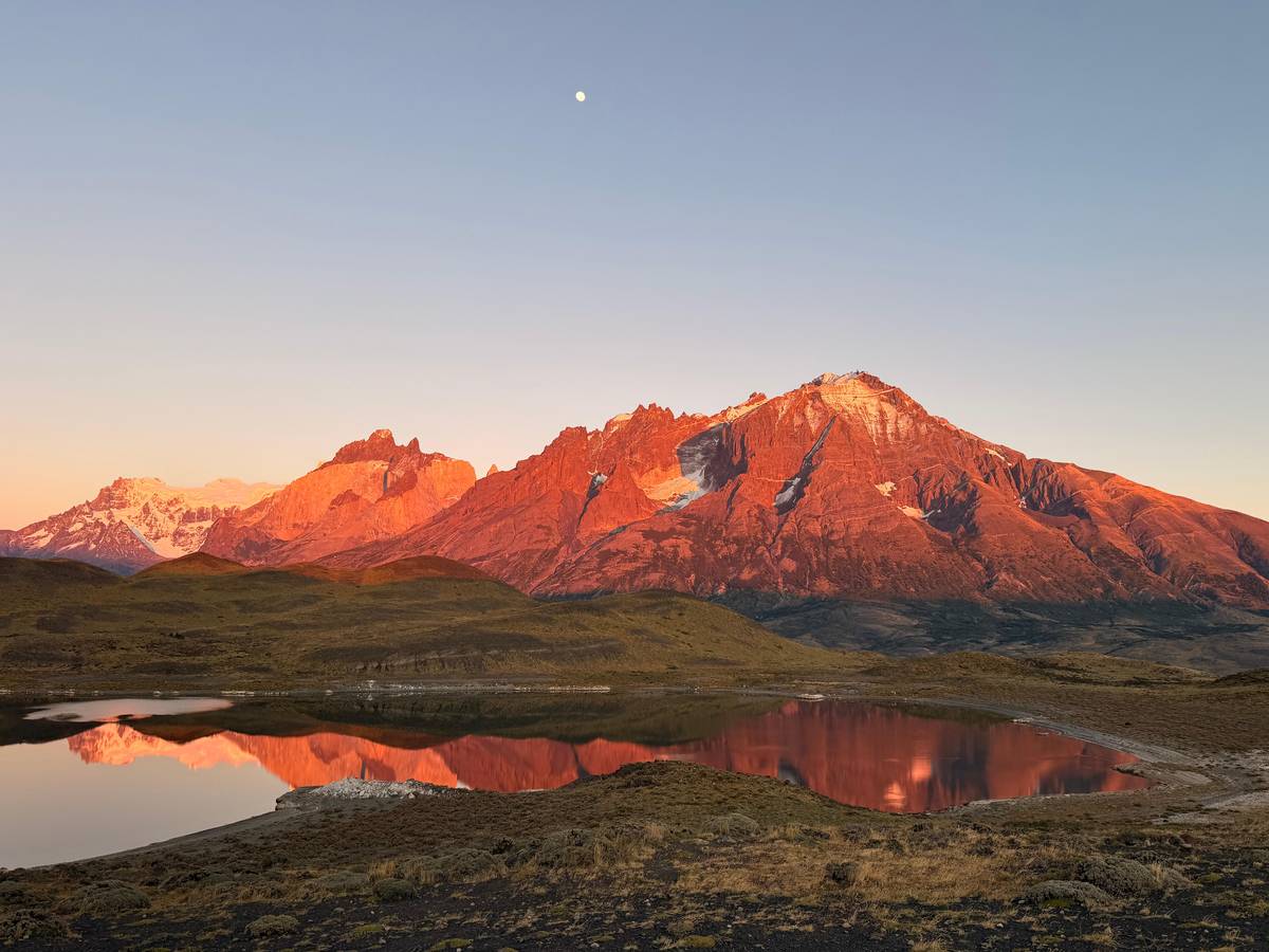
Best rated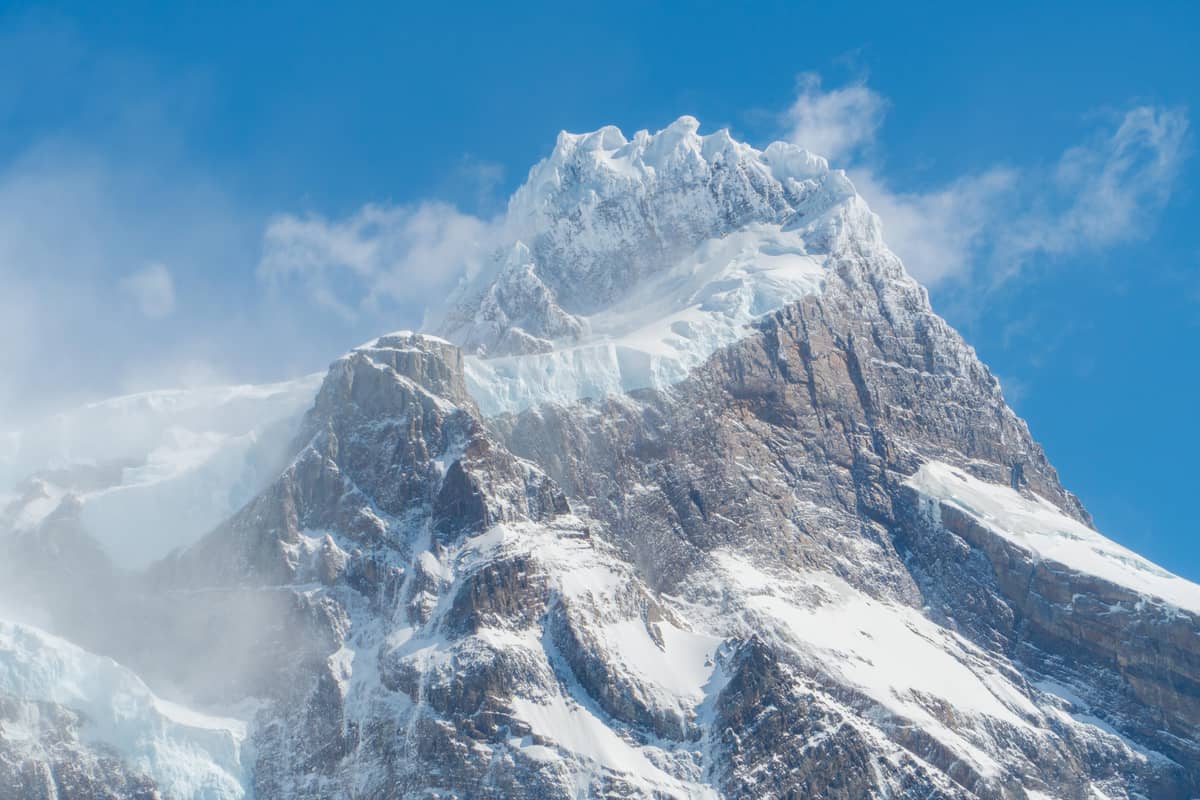 3 days
 Longest
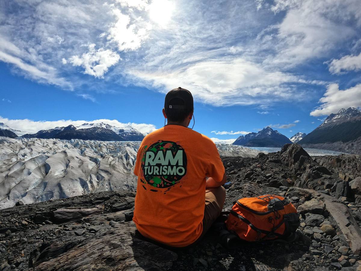
5-day trek and glacier
Camping plus a boat
- Duration
- 5 days
- Extra
- glacier navigation
- Reviews
- none yet
Guided or not
Which way to do the W
Match the trip to how much planning you want to own.
Guided tour
An operator sells the confirmed beds in the right order, which is the hardest part to arrange.3
Guided tour
Several W sections may be hiked only with a guide in the winter period.4
Self-guided
The route is marked; your job is booking every night and buying the park ticket ahead.15
W Trek Express
It is limited to 4 participants.
Base Torres day hike
Day visits to Base Torres need no overnight reservation.16
To hike the W and the Macizo Paine circuit you must book your lodging in the refugios and campsites inside the park; without these reservations you cannot enter the mountain area.
Book the beds before anything else
The single most important rule of the W is not about fitness. To hike the W or the Macizo Paine circuit you need reservations at the refugios and campsites inside the park, and without them you cannot enter the mountain area.3 Rangers check. A plan that starts with flights and ends with campsites is a plan that can fail at the gate.
Two concessionaires run the lodging along the route, Las Torres Patagonia in the east and Vértice Patagonia in the west, and you book each one on its own site or through an accredited operator. Plan the nights first, then fit the hiking days between them. The park entry ticket is separate and must be bought online at least 24 hours before you enter.15
Once you are on the trail, the park asks you to register on arrival at every ranger station.17 There is no phone or internet signal on the interior trails, so expect to be disconnected for several days.18 Tell someone at home your itinerary, carry a printed copy of your reservations and do not count on checking anything on the way.
Map
From Puerto Natales to the trails of Torres del Paine
Where the hikes start and what lies along them: the park entrances, the viewpoint trails of this tour, and the route of the W.
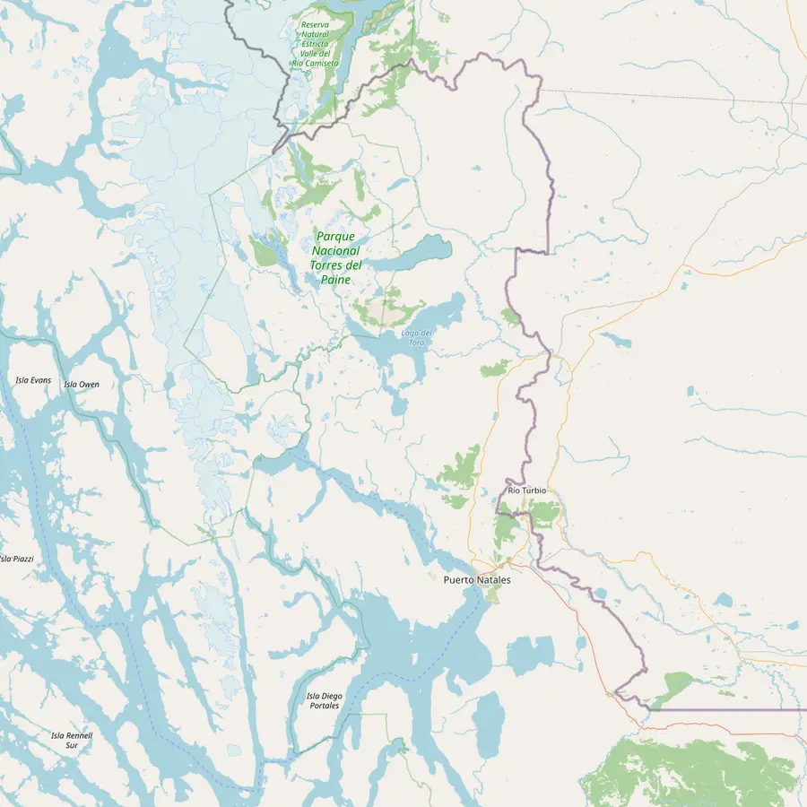 1Puerto Natales2Portería Sarmiento3Laguna Amarga4Salto Grande
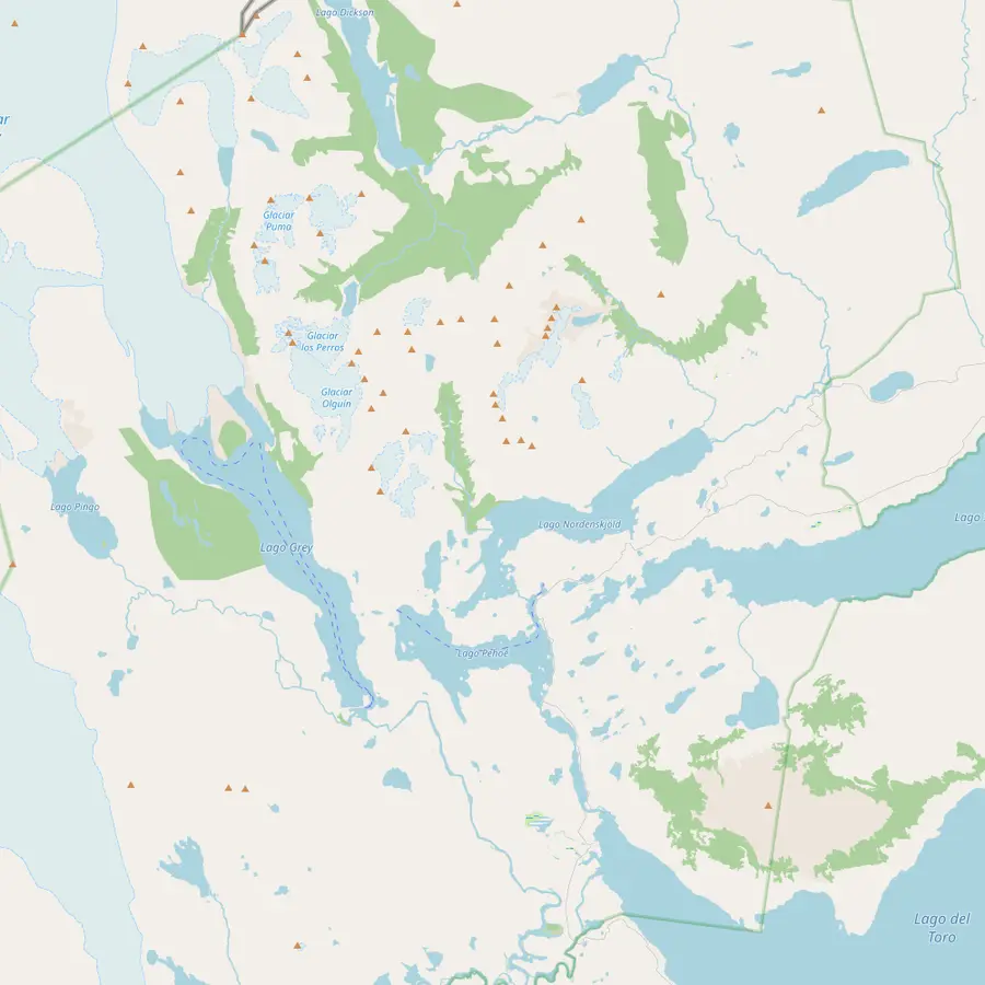 5Hotel Las Torres6Refugio Chileno7Mirador Base Torres8Refugio Los Cuernos9Mirador Cuernos4Salto Grande10Paine Grande11Refugio Grey12Mirador Cóndor
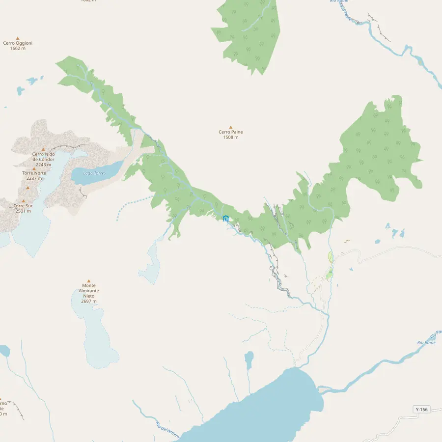 5Hotel Las Torres6Refugio Chileno7Mirador Base Torres
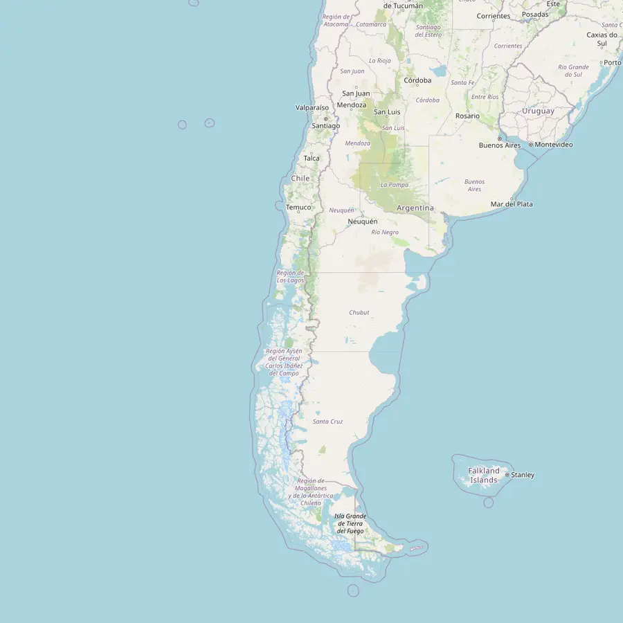 13Santiago airport (SCL)14Punta Arenas airport (PUQ)15Natales airfield (PNT)
- 1Puerto Natales
The town tours start from; by Ruta 9 it is 112 km to the Sarmiento entrance and 129 km to Laguna Amarga.19
In Google Maps ↗ - 2Portería Sarmiento
The Lago Sarmiento entrance, where this tour begins its first walk on the Aonikenk Trail.
In Google Maps ↗ - 3Laguna Amarga
The first stop of the scheduled buses from Puerto Natales, about two hours away.20
In Google Maps ↗ - 4Salto Grande
The waterfall in the Pudeto area, a stop on this tour before the walk to Mirador Cuernos.
In Google Maps ↗ - 5Hotel Las Torres
Start of the Base Torres hike: 22 km out and back from here.21
In Google Maps ↗ - 6Refugio Chileno
The first section from Hotel Las Torres is 5 km and takes about 2 hours.12
In Google Maps ↗ - 7Mirador Base Torres
The final 1.4 km from the Torres ranger post take about 1 hour and are rated demanding.14
In Google Maps ↗ - 8Refugio Los Cuernos
A stop on the W, 11.6 km from Hotel Las Torres.11
In Google Maps ↗ - 9Mirador Cuernos
The viewpoint this tour walks to from Salto Grande, about 2 hours there and back.
In Google Maps ↗ - 10Paine Grande
On the W; Campamento Italiano is 7.5 km away.8
In Google Maps ↗ - 11Refugio Grey
From the Grey ranger post to Paine Grande is 11 km.7
In Google Maps ↗ - 12Mirador Cóndor
The tour's afternoon climb, a round trip of about 2 hours up to about 350 m.
In Google Maps ↗ - 13Santiago airport (SCL)
Flights to the Puerto Natales airfield take 3 hours 17 minutes, about 2,000 km.22
In Google Maps ↗ - 14Punta Arenas airport (PUQ)
About 3 hours 27 minutes from Santiago; a bus then covers about 250 km to Puerto Natales.2324
In Google Maps ↗ - 15Natales airfield (PNT)
Teniente Julio Gallardo airfield; a taxi into town takes about 11 minutes.25
In Google Maps ↗
Before you go
Checklist for a W Trek tour
01
Book ahead
- Park entry ticket online, at least 24 hours before
- Every refugio or campsite night, in order
- Transport to the start and from the finish
02
Pack
- Wind shell, warm layers and gloves
- Rain gear for every day
- Trekking poles for the moraine
- A stove, used only in camp cooking areas
03
On the trail
- Register at every ranger station
- Stay on the marked trails
- Leave early: times are without long stops
Group cost
Price a guided W Trek
Pick a trip and set the group size to see the from-price.
People
Total from$2,380
per head from $1,190
Check availabilityfree cancellationFigures use each trek's GetYourGuide starting price per hiker, converted at the day's ECB rate; your booking confirmation carries the true amount.
Video
W TREK, TORRES DEL PAINE (2025) | Hiking Guide to the W Trek In Patagonia, Chile (with Trail Maps)
Nothing loads from YouTube until you press play.
Guided W Trek tours compared
A guided W Trek tour sells you exactly the thing that is hardest to arrange: confirmed beds in the right order, transfers, a guide and someone else carrying the logistics. The W Trek Express on this page runs 5 days, is limited to 4 participants, and starts from $1,190. It is rated 4.74 from 114 reviews.
A shorter guided W Trekking listing covers 3 days with pickup and starts from $1,450, with a rating of 3.90 from 3 reviews. A 5-day trek with camping and glacier navigation starts from $1,890 and has no reviews yet. Each of them offers free cancellation up to 24 hours ahead, which matters on a route where a forecast can change your mind.
The price gap to a self-guided trip is real, but so is what it buys. A guide reads the weather, knows when the wind on an exposed stretch is too strong and handles the paperwork at each ranger post. If you have only one chance at the W and little time to chase campsite availability, a guided departure removes most of the ways the trip can go wrong.
Hiking the W on your own
Plenty of hikers walk the W independently, and the route is well marked. The work is all in the planning: securing the campsites or refugios on the nights you want, buying the park ticket ahead and arranging how you get to the start. Carry your own shelter and food if you camp, or pay for full board at the refugios if you want a lighter pack.
Respect the park's rules on fire. Using any heat source inside the national park is prohibited under Law 20.653.26 Cooking is allowed only on stoves in the designated areas of each camp, so learn where they are before you light a burner. Leaving the trail is the other big mistake: almost all fatal accidents in the park happen off authorized trails.27
Independence also means you decide what to do on a bad day. The French Valley is the section most often cut short when clouds sit low, and an extra night in your plan gives you a second chance at it. Pack layers for rain, wind and possible snow, keep your schedule loose and treat every published walking time as a minimum.
Season, winter rules and the weather
The W can be hiked outside the summer, but the rules change. In the winter period several sections of the W may be hiked only with a guide, under the park's winter visiting protocol.4 The park warns that winter trails can be covered in ice and 20, 30 cm or more of snow.28 That turns a guided tour from a comfort into a requirement for parts of the route.
In the busier months the challenge is availability rather than snow. Buses from Puerto Natales run daily in high season, which Chile Travel gives as September to April.29 Campsites and refugios on the W are what sell out, so the earlier you settle the dates, the more choice you have about direction and pace.
Whatever the month, plan for wind. Patagonian gusts can stop you on an exposed ridge and make a lake crossing uncomfortable. Pack poles, a shell that really blocks wind and gloves even in summer, and keep a few hours in reserve each day for the moments when the mountain sets the pace instead of your itinerary.
Book your day
The Cuernos, Salto Grande and a condor ridge in a day.
Secure a place today, settle the bill later, and step back at no cost up to a day before the van departs Puerto Natales.


You ask,we answer.
How long is the W Trek?
About 70 km. The W is approximately 70 km long, walked over several days between refugios and campsites.1
How many days do I need?
Usually 4 to 7 days. Las Torres Patagonia plans it at 4 to 7 days or 3 to 6 nights, depending on your itinerary.2
Do I need reservations for the W?
Yes, for every night. Refugio or campsite reservations are mandatory to enter the mountain area on the W.3
Can I hike the W in winter?
Only parts, with a guide. In the winter period several W sections may be hiked only with a guide, under the park's winter protocol.4
What does a guided W Trek tour cost?
From $1,190 for 5 days. The W Trek Express is limited to 4 participants and offers free cancellation up to 24 hours ahead.
Is there phone signal on the trail?
No. The interior trails have no phone or internet signal, so W hikers are disconnected for several days.18
Which is the hardest section?
The French Valley climb. From Campamento Italiano to Mirador Británico is 5.4 km and rated demanding.9
Sources
The sources for this guide
- 1Las Torres PatagoniaW Circuit↩
- 2Las Torres PatagoniaW Circuit↩
- 3Parque Nacional Torres del Paine (CONAF)Sistemas de reservas↩
- 4↩
- 5Parque Nacional Torres del Paine (CONAF)Recomendaciones para su viaje 2026↩
- 6↩
- 7↩
- 8↩
- 9↩
- 10↩
- 11↩
- 12↩
- 13↩
- 14↩
- 15Parque Nacional Torres del Paine (CONAF)Sistemas de reservas↩
- 16Parque Nacional Torres del Paine (CONAF)Sistemas de reservas↩
- 17Parque Nacional Torres del Paine (CONAF)Recomendaciones para su viaje 2026↩
- 18Parque Nacional Torres del Paine (CONAF)Recomendaciones para su viaje 2026↩
- 19Chile Travel (Sernatur)Cómo llegar desde Santiago a las Torres del Paine↩
- 20Chile Travel (Sernatur)Cómo llegar desde Santiago a las Torres del Paine↩
- 21Las Torres PatagoniaTime to Base Torres↩
- 22Chile Travel (Sernatur)Cómo llegar desde Santiago a las Torres del Paine↩
- 23Chile Travel (Sernatur)Cómo llegar desde Santiago a las Torres del Paine↩
- 24Chile Travel (Sernatur)Cómo llegar desde Santiago a las Torres del Paine↩
- 25Chile Travel (Sernatur)Cómo llegar desde Santiago a las Torres del Paine↩
- 26Parque Nacional Torres del Paine (CONAF)Actividades no autorizadas↩
- 27Parque Nacional Torres del Paine (CONAF)Recomendaciones para su viaje 2026↩
- 28Parque Nacional Torres del Paine (CONAF)Recomendaciones para su viaje 2026↩
- 29Chile Travel (Sernatur)Cómo llegar desde Santiago a las Torres del Paine↩
Keep reading